
Red Flag Warning
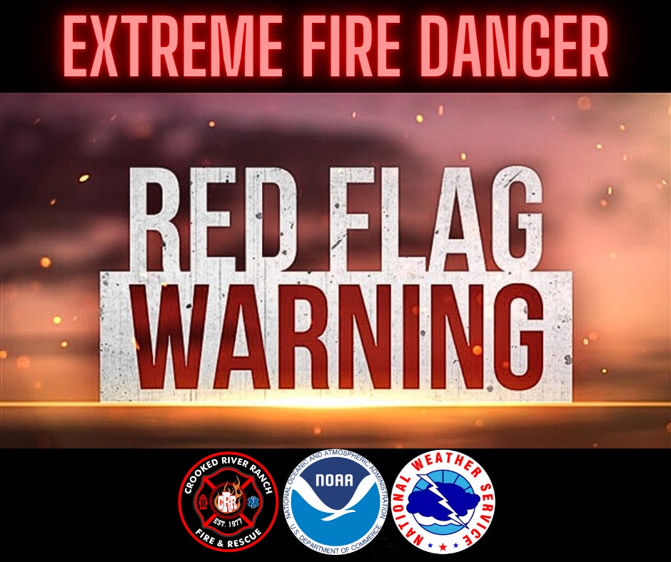
A Red Flag Warning means that critical fire weather conditions are either occurring now, or are imminent. A combination of strong winds, low relative humidity, high temperatures and/or abundant lightning create the perfect environment for extreme fire behavior. See the current warning below:
RED FLAG WARNING IN EFFECT FROM 2 PM TO 9 PM PDT TUESDAY FOR ABUNDANT LIGHTNING FOR FIRE WEATHER ZONE OR700
...DRY THUNDERSTORMS EXPECTED FOR CENTRAL OREGON TUESDAY, FOLLOWED BY DRY AND WINDY CONDITIONS ACROSS THE KITTITAS VALLEY AND WASHINGTON BASIN WEDNESDAY...
The high pressure currently leading to hot and dry conditions will start to break down Tuesday into Wednesday, allowing for dry thunderstorms to develop across central Oregon. Once high pressure has completely broken down on Wednesday, winds will pick up. With RHs having little time to recover from Monday and Tuesday's heat, this will lead to potentially critical fire weather conditions across the Kittitas Valley and into the Washington Columbia Basin.
The National Weather Service in Pendleton has issued a Red Flag Warning for abundant lightning, which is in effect from 2 PM to 9 PM PDT Tuesday.
* AFFECTED AREA...Fire Weather Zone 700 Central Mountains of Oregon.
* TIMING...From 2 PM to 9 PM PDT Tuesday.
* IMPACTS...Any fire that develops will catch and spread quickly. Outdoor burning is not recommended.
* RAINFALL AMOUNTS...Storms are mostly expected to be dry, with rainfall amounts less than a tenth of an inch. A few isolated storm cells could produce rainfall amounts of 0.1 to 0.2 inches.
* OUTFLOW WINDS...As high as 45 mph.